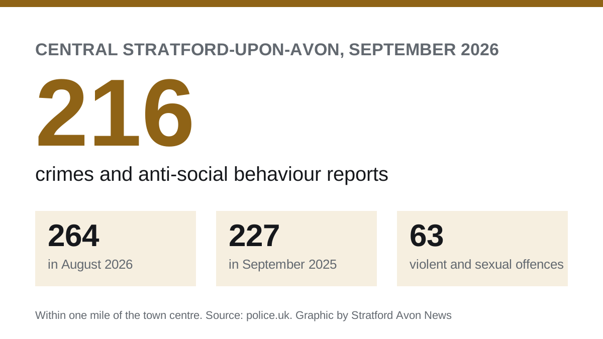

Police logged 216 crimes and anti-social behaviour reports within a mile of central Stratford in September, down from 264 in August and 227 a year earlier.
Police recorded 216 crimes and anti-social behaviour reports within a mile of central Stratford-upon-Avon in September 2026. That is 48 fewer than in August, and 11 fewer than in September 2025, a fall of 5%.
August’s figure of 264 was the highest this summer and 27% up on a year earlier, as we reported last month. September brought it back below last year’s level.
The figures are the Home Office’s street-level data on police.uk, now published for September. We use the same area as before: everything within one mile of the town centre. That takes in the riverside, the Maybird retail park and the station as well as the shopping streets. Each report is placed at the nearest street or landmark, not an exact address.
What was reported
| Type | September 2025 | September 2026 | Change |
|---|---|---|---|
| Violence and sexual offences | 71 | 63 | -8 |
| Anti-social behaviour | 53 | 56 | +3 |
| Shoplifting | 34 | 33 | -1 |
| Other theft | 17 | 15 | -2 |
| Criminal damage and arson | 10 | 11 | +1 |
| Public order | 12 | 10 | -2 |
| Vehicle crime | 8 | 10 | +2 |
| Burglary | 7 | 7 | 0 |
| Drugs | 2 | 2 | 0 |
| Robbery | 2 | 0 | -2 |
| Other | 11 | 9 | -2 |
| Total | 227 | 216 | -11 |
“Other” groups bicycle theft, theft from the person, possession of weapons and other crime. In September 2026 that was four bicycle thefts, four other crimes and one weapons offence.
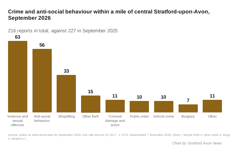
Anti-social behaviour drove August’s rise, and it fell back. It went from 78 reports in August to 56 in September. That is still three more than in September 2025.
Violence and sexual offences were the largest category, at 63. That is eight fewer than a year earlier.
There was no robbery recorded in September, after six in August. At these numbers a single incident moves the total, so neither month is a trend.
Where it happened
The locations with the most reports in September 2026, as police.uk names them:
| Location | September 2025 | September 2026 |
|---|---|---|
| Shopping area | 18 | 21 |
| Parking area | 20 | 15 |
| Theatre or concert hall | 12 | 14 |
| John Street | 12 | 11 |
| Supermarket | 9 | 9 |
| High Street | 8 | 7 |
| Petrol station | not in top ten | 7 |
| Sheep Street | not in top ten | 6 |
| Evesham Place | not in top ten | 6 |
| Bridge Street | 8 | 5 |
“Shopping area”, “parking area” and “supermarket” are police.uk’s generic labels for a retail area, a car park or a store, not a named street.
Reports mapped to the theatre fell from 22 in August to 14. A landmark label means “on or near”, so it covers the Waterside and Bancroft Gardens area as well as the building.
What happened next
Of the 216 reports, 56 were anti-social behaviour, which has no outcome category. For the 160 crimes:
- 84 were still under investigation when the data was published
- 40 were closed with no suspect identified
- 29 were closed because police were unable to prosecute a suspect
- 7 were awaiting a court outcome
Most September cases are still open. Those numbers will change as the Home Office updates the file in later months.
What it means for you
- For the trend: July had 237 reports, August 264 and September 216. One busy month followed by a quieter one is not a change in direction. The comparison with the same month last year is the fairer one, and September was slightly lower.
- If you park in town: car parks were the second most common location again. Leave nothing visible in the car. Our parking page lists the town centre car parks.
- To report anti-social behaviour: call 101 or use Warwickshire Police’s online form. Those reports are what make up this category.
Source: police.uk street-level crime data for September 2026, September 2025 and July 2026, within one mile of 52.1917, -1.7073, downloaded on 7 November 2026 under the Open Government Licence.
Have your say