
The council's design adviser cannot support the 106-home Node Hill plan in Studley, and county highways want new traffic figures. Where the application stands.
The district council’s own urban design adviser says they cannot support plans for 106 homes on Node Hill in Studley as submitted. Their response went on the planning register on 15 October. Two days earlier, Warwickshire County Council’s highways team said it could not yet give a final view on the scheme’s traffic.
The application, 26/01623/FUL, is from Lone Star Land Ltd. It covers about 4.86 hectares on the south-west side of the A448 Node Hill, across the road from the main built-up area of Studley. Studley is about 12 miles north-west of Stratford-upon-Avon.
What is proposed
The applicant’s planning statement describes:
- 106 homes, of which 53 would be affordable, half the total
- public open space, a children’s play area and a cycle path
- a sustainable drainage system and landscaping
- a single vehicle access from the A448 Node Hill
The land is in three parcels, partly previously developed and currently in agricultural, commercial and equestrian use. The applicant expects building to start in mid-2027, at about 40 homes a year, if permission is granted.
The site is in Sambourne parish, although it adjoins Studley. It is also in the West Midlands Green Belt. The applicant argues it counts as “grey belt”, a category of Green Belt land where national policy now allows some housing.
What the council’s advisers say
Urban design. The council’s urban design adviser lists two areas where the scheme “fails to reflect relevant aspects of well-designed places”:
- density, scale and massing
- appearance
The response says the number of homes per hectare is not clearly stated in the planning statement or the design and access statement. It concludes: “I am currently unable to support the application.”
Highways. The county’s response of 13 October does not object, but it asks the applicant for a good deal more. It says:
- the traffic surveys used to estimate trips are out of date, and should date from 2023 onwards where possible
- the assessment must count traffic from other committed schemes, including the Redditch Eastern Gateway, Foxlydiate and Far Moor Lane
- the junction modelling must be rerun for 2026 and 2031
- no road safety audit has been submitted
On walking and cycling, the county wants better crossings of the A448, possibly with signals. It also wants a direct cycle link to Station Road, Brickyard Lane and National Cycle Route 5 towards Redditch. It notes that no bus service runs directly past the site; the nearest stops are on Station Road and Alcester Road.
Affordable housing. The council’s housing team says 53 affordable homes, 50%, would be policy compliant. But it objects to the mix, because the affordable homes include no bungalows. It says that conflicts with Core Strategy Policy CS.19. The team also says it knows of no talks with housing associations about the site, which it calls “very disappointing”. It describes the A448 as a possible “significant physical and psychological barrier” between the new homes and the rest of the village.
What the parish councils say
Both parish councils have objected.
Studley Parish Council, in its response of 1 September, objects on these grounds:
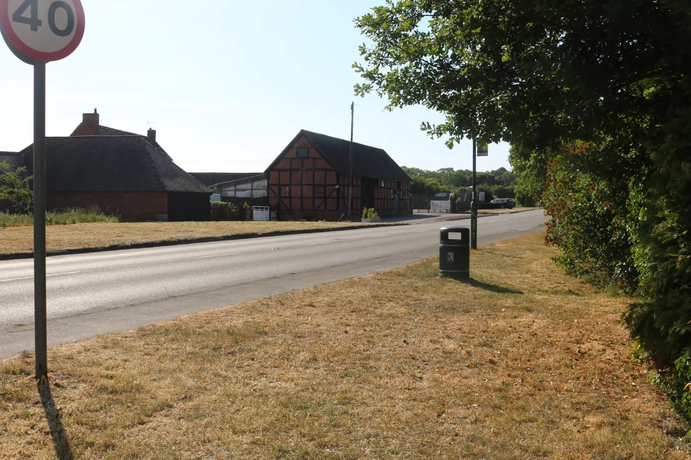
- more traffic, and risks for people crossing “a busy 40mph road”
- the land is Green Belt
- a lack of local infrastructure, including drainage
- flooding and surface water run-off
- residents would rely on GPs and schools in neighbouring towns and villages
- harm to nature from removing trees and building on open land
Sambourne Parish Council, in whose parish the site sits, objected on 7 August. It says local schools are full, that Studley High School has no sixth form, and that the doctors’ surgery is at capacity. It also says drivers would use Middletown Lane, Oak Tree Lane and Whitemoor Lane to avoid queues at The Slough. It gives a count of more than 11,500 vehicles a day on The Slough Road.
The register also holds 120 comments from members of the public.
A disagreement over the draft Local Plan
Sambourne Parish Council says the site is outside the area shown in the Regulation 19 map for the draft South Warwickshire Local Plan.
The publication draft of that plan does list “Land on South-West side of Node Hill” in Studley as site STU.1, with an indicative minimum of 137 homes. It says the site is “considered to be grey belt”, that existing hedgerows must be kept, and that a stronger southern boundary is needed to screen the landscape. The county’s minerals and waste planners and the council’s housing team both describe this application as the STU.1 site.
The draft plan has not yet been examined, so the housing team says only “limited weight” can be given to the allocation for now.
The council also cannot show a five-year supply of housing land. Its latest figure is 2.43 years. That makes it harder for the council to refuse housing schemes, and the applicant relies on it.
What happens next
The council set a target date of 25 September for a decision, and that has passed. The county has asked for revised traffic data before it gives final comments, and the urban design adviser wants changes. No committee date has been set.
What it means for you
- You can still comment. The formal consultation closed on 1 October, but the register still accepts comments. Use the reference 26/01623/FUL on the council’s E-Planning page.
- Watch for revised plans. If the applicant answers the highways and design points, new documents will appear on the same page.
- More district applications are in our planning news.
Have your say